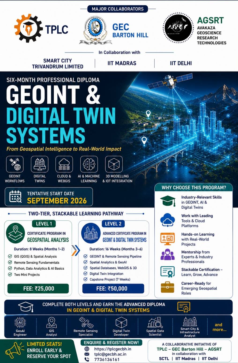
Six-Month Professional Diploma
GEOINT & DIGITAL TWIN SYSTEMS
From Geospatial Intelligence to Real-World Impact
Program Highlights
● GEOINT Workflows
● Digital Twins
● Cloud & WebGIS
● AI & Machine Learning
● 3D Modelling & IoT Integration
📅Tentative Start Date: September 2026
Two-Tier, Stackable Learning Pathway
⚡ Level 1
Certificate Program in Geospatial Analysis
Duration: 8 Weeks (Months 1–2)
📝 Curriculum
● GIS (QGIS) & Spatial Analysis
● Remote Sensing Fundamentals
● Python, Data Analytics & AI Basics
● Two Mini Projects
🏷 Fee: ₹25,000
⚡ Level 2
Advanced Certificate Program in GEOINT & Digital Twin Systems
Duration: 16 Weeks (Months 3–6)
📝 Curriculum
● GEOINT & Remote Sensing Pipeline
● Spatial Analytics & GeoAI
● Spatial Databases, WebGIS & 3D
● Digital Twin Integration
● Capstone Project (7 Weeks)
🏷 Fee: ₹50,000
Why Choose This Program?
● Industry-Relevant Skills in GEOINT, AI & Digital Twins
● Work with Leading Tools & Cloud Platforms
● Hands-on Learning with Real-World Projects
● Mentorship from Experts & Industry Professionals
● Stackable Certification – Learn, Grow, Advance
● Career-Ready for Emerging Geospatial Roles
Complete Both Levels and Earn the Advanced Diploma in GEOINT & Digital Twin Systems
Career Opportunities
● GeoAI Engineer
● GIS Analyst
● Remote Sensing Specialist
● Digital Twin Developer
● Spatial Data Scientist
● Smart City & Infrastructure Analyst
and more...
Enquire & Register Now
Email: tplc@gecbh.ac.in
Phone: 7736136161
Limited Seats!
Enroll Early & Reserve Your Spot
Email: tplc@gecbh.ac.in
Phone: 7736136161